English
  Mauritius
  French
 APPLICATIONS
Exploring
Various Uses and
Applications
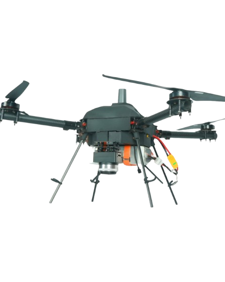
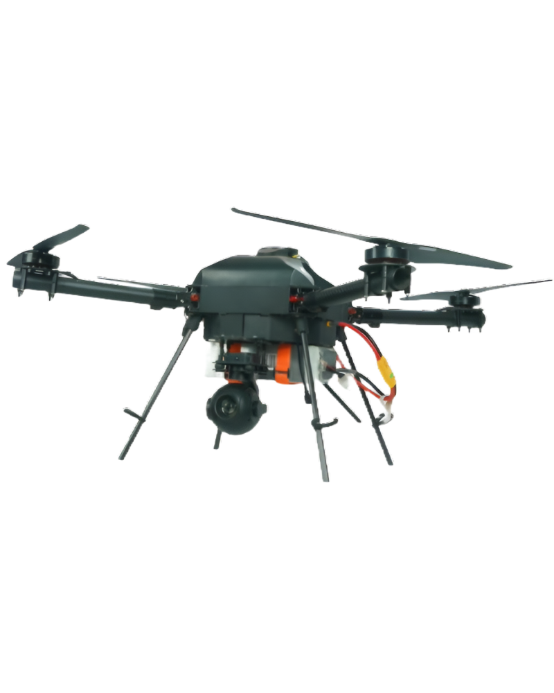
The SKYX Carter T-640 is ideal for large-scale crop spraying
and field mapping, ensuring faster operations and higher productivity.
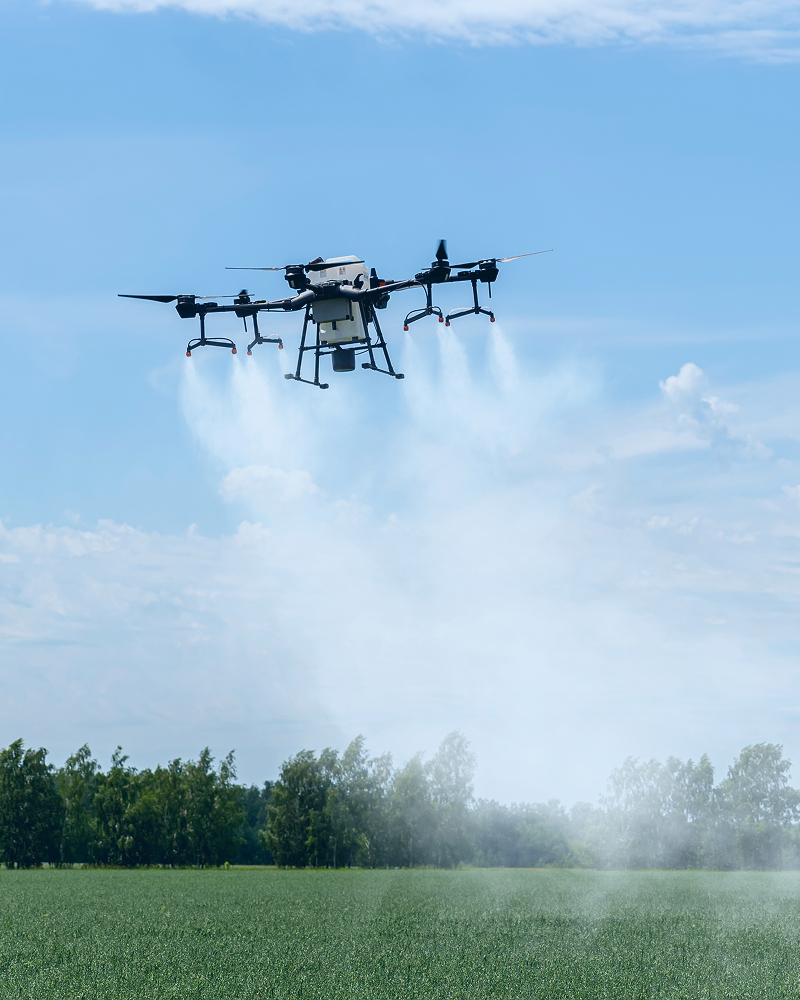
VUAYUPANKH Carter 30X is a high-performance agricultural drone designed for precision farming, offering advanced aerial monitoring and spraying capabilities. It helps farmers enhance productivity by providing accurate data, efficient crop spraying, and reduced operational time.

Precision data collection for diverse applications, delivering meticulous and detailed insights.

Enhances security in surveyed areas with additional measures, labels and reduces potential concerns.

Integrates temperature detection for diverse survey applications, enhancing benefits and insights.
Skyx Drones detect anomalies in agriculture, infrastructure, and security Enhancement.
Drones enhance temperature measurement accuracy for efficient monitoring.
Drones provide error-free detection, improving accuracy and efficiency in various industries.

Customized for your high-end indoor operations.

Suitable for heavy-duty operations in your projects.

Numerous and varied operations to carry your supplies.

Precise mapping solutions and efficient surveillance capabilities.

Autonomous Navigation, Object Detection, and Obstacle Avoidance.

Processing data with hi-tech technology to provide accurate data.
Key Features


Specifications
The SKYX Carter T-640 is ideal for large-scale crop spraying
and field mapping, ensuring faster operations and higher productivity.

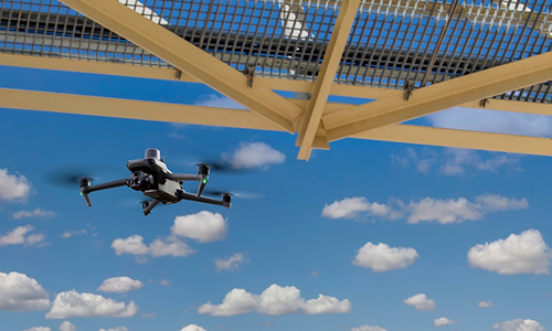
Industrial Surveilence
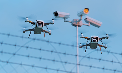
Border Surveilence
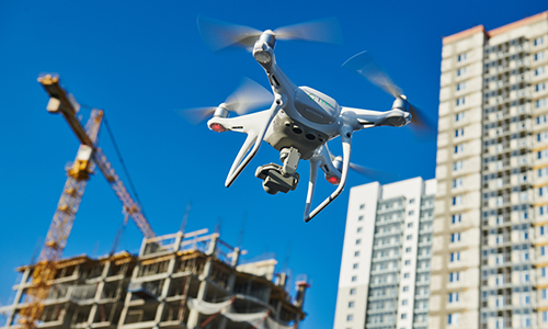
Building Inspection
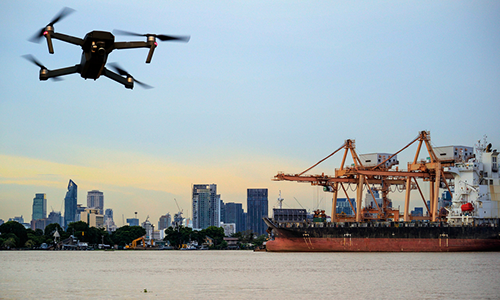
Ship Inspection
Bridge Inspection
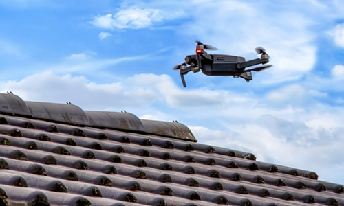
Roof Inspection
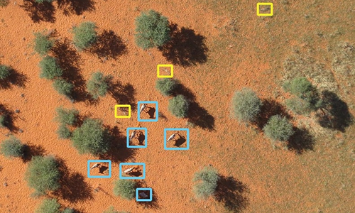
Wildlife Monitoring
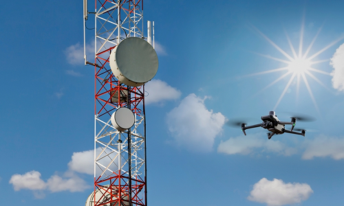
Telecom Tower Inspection
As a trusted drone partner, we have successfully completed diverse large-scale projects in Government and Private Sectors.

3D modeling of sites for progress monitoring of projects
.png)
Swift, Reliable, and Strategic Solutions in Critical Moments
.png)
Clear informed inspections help in real-time decisions

Attention to every detail to ensure informed decision-making

3D modeling of sites for progress monitoring of projects

3D modeling of sites for progress monitoring of projects
Swift, Reliable, and Strategic Solutions in Critical Moments

Clear informed inspections help in real-time decisions
.png)
Attention to every detail to ensure informed decision-making
Accurate topographic maps derived from surveys aid in urban planning, infrastructure development, and disaster preparedness.

Aerial images orthorectified to stitch together high-res images, ensuring precise mapping.

Transforms reality into digital precision, useful for simulations and surveying.

Digital terrain sculpting aiding in analysis, infrastructure planning, and monitoring.

Visualizes elevation and terrain for geological studies and urban planning.

Blends textures and data for immersive environments and realistic modeling.

Provides data insights for construction, research, and project management.
Explore the future of aerial solutions. Download our brochure for cutting-edge drone technology and innovative solutions. Elevate your vision with us!