English
  Mauritius
  French
 APPLICATIONS
Exploring
Various Uses and
Applications
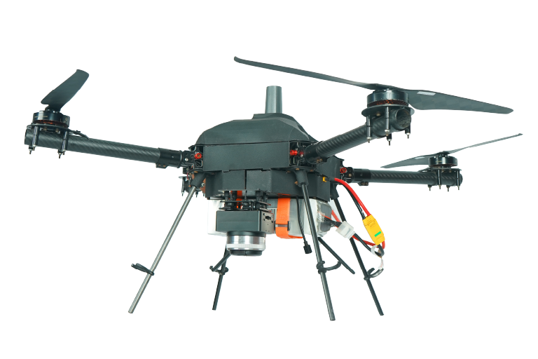
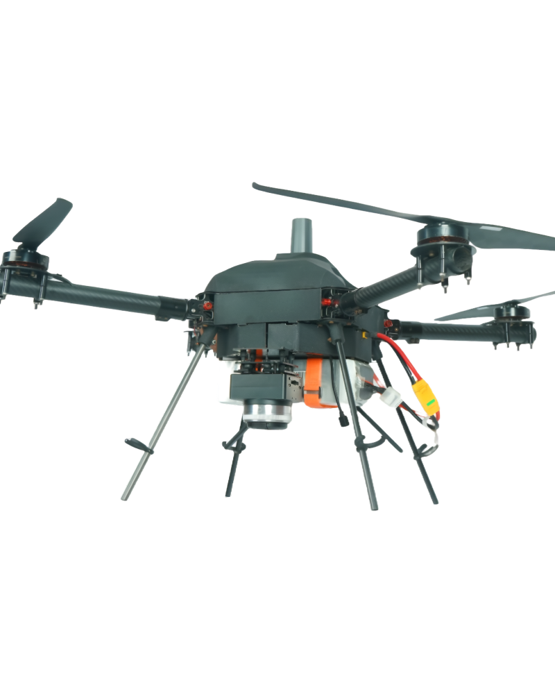
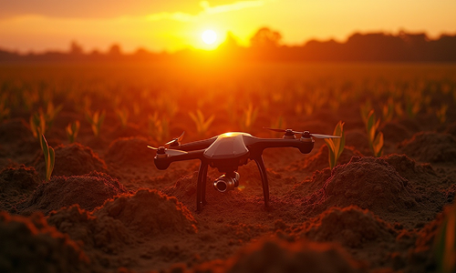
Carter T-640 is ideal for large-scale crop spraying and field
mapping, ensuring faster operations and higher productivity.
VUAYUPANKH Carter T-640 is a powerful and high-capacity agricultural drone designed for large-scale farming operations. It offers efficient aerial spraying, crop monitoring, and field mapping, helping farmers save time, reduce labor costs, and maximize yield.

Precision data collection for diverse applications, delivering meticulous and detailed insights.

Enhances security in surveyed areas with additional measures, labels and reduces potential concerns.

Integrates temperature detection for diverse survey applications, enhancing benefits and insights.
VAYUPANKH Drones detect anomalies in agriculture, infrastructure, and security Enhancement.
Drones enhance temperature measurement accuracy for efficient monitoring.
Drones provide error-free detection, improving accuracy and efficiency in various industries.

Covers large areas quickly, saving time and reducing operational costs.

Targeted approach improves crop health and increases yields.

Totally minimizes inhaling harmful chemicals and from dangerous snake bites.

Data-driven analysis for targeted spraying and special care to those hotspots in the field.

Precise spraying helps in reduced wastage and optimizing the effectiveness of treatments.

Customizable payloads tailored to meet your specific needs and requirements.
Key Features

.png)


Specifications
Carter T-640 is ideal for large-scale crop spraying and field
mapping, ensuring faster operations and higher productivity.

Night Time Surveillance

Power Lines Monitoring
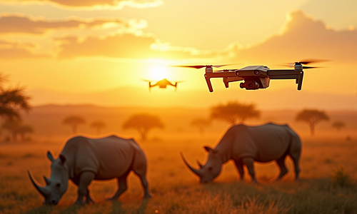
Anti-Poaching Monitoring

Solar Panel Inspection
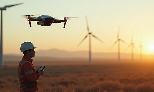
Wind Turbine Inspection
Wildlife Tracking & Census
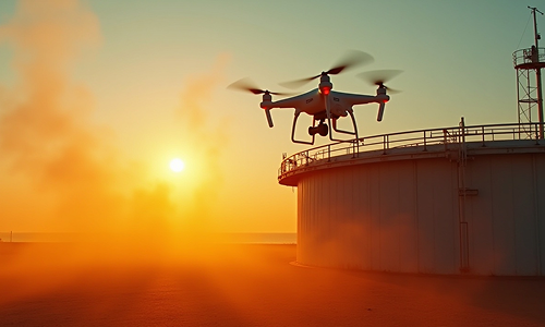
Oil & Gas Lines Monitoring
Soil Temperature Analysis
As a trusted drone partner, we have successfully completed diverse large-scale projects in Government and Private Sectors.

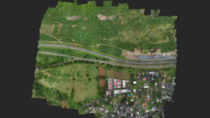
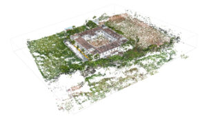
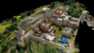
3D modeling of sites for progress monitoring of projects
.png)
Swift, Reliable, and Strategic Solutions in Critical Moments
.png)
Clear informed inspections help in real-time decisions

Attention to every detail to ensure informed decision-making

3D modeling of sites for progress monitoring of projects
3D modeling of sites for progress monitoring of projects
Swift, Reliable, and Strategic Solutions in Critical Moments

Clear informed inspections help in real-time decisions
.png)
Attention to every detail to ensure informed decision-making
Accurate topographic maps derived from surveys aid in urban planning, infrastructure development, and disaster preparedness.
Aerial images orthorectified to stitch together high-res images, ensuring precise mapping.
Transforms reality into digital precision, useful for simulations and surveying.
Digital terrain sculpting aiding in analysis, infrastructure planning, and monitoring.
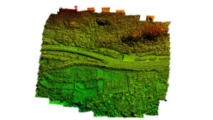
Visualizes elevation and terrain for geological studies and urban planning.
Blends textures and data for immersive environments and realistic modeling.

Provides data insights for construction, research, and project management.
Explore the future of aerial solutions. Download our brochure for cutting-edge drone technology and innovative solutions. Elevate your vision with us!