 English
  Mauritius
  French
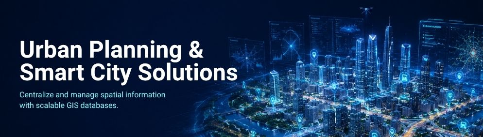
Our Urban Planning and Smart City Solutions utilise advanced GIS technology to foster sustainable city development and facilitate intelligent infrastructure management.
We offer services such as spatial analysis, zoning maps, transportation planning, utility management, land use analysis, and infrastructure planning, all aimed at assisting governments and urban developers in making well-informed decisions.
Our geospatial solutions enhance public services, optimise resource utilisation, and bolster smart governance initiatives.
Skylabs Solution provides precise location intelligence that empowers cities to improve mobility, refine infrastructure planning, manage urban growth effectively, and create resilient, future-ready communities.
Geographic information system (GIS) is a branch of geography that assists in the collection, storage, management, manipulation, and analysis of all sorts of spatial or geographical data. GIS, being an emerging technology, is constantly evolving with the introduction of new technologies, tools, the Internet, and mobile devices. GIS is made up of five important components: technology, software, people, data, and methodologies. GIS is run on hardware, which might be a centralised computer server or standalone desktop computers. Skylabs, India's most trusted provider of GIS development and programming services, assists you in developing software that can store, analyse, and display geographic information.
Here's how it works:
GIS Mapping services may help you gain valuable information about a property, location, or asset by utilising dynamic data that is spatially organised. And as a GIS Mapping Company, we assist numerous organisations and businesses, government agencies, geologists, environmentalists, and others in their efforts to create a better world.
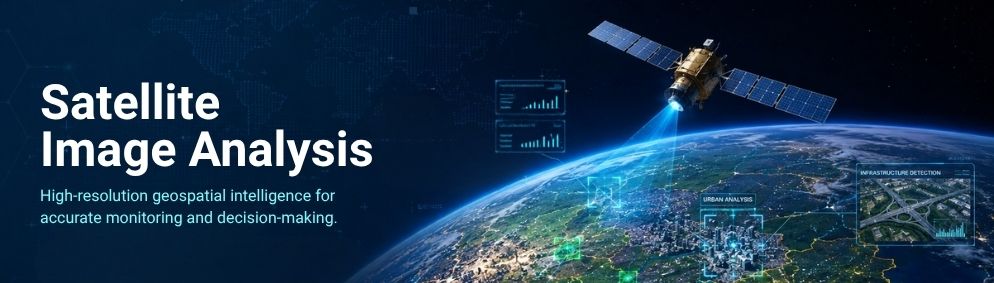
Skylabs Solution provides advanced Satellite Image Analysis services that convert high-resolution satellite imagery into valuable geospatial insights.
Our team of experts performs comprehensive analyses of land use, vegetation, water resources, infrastructure, and environmental changes, employing cutting-edge GIS and remote sensing technologies.
These insights enable government agencies, engineering firms, agricultural organisations, and businesses to make informed decisions regarding planning, monitoring, and resource management.
By delivering accurate spatial analysis and dependable reporting, we support our clients in enhancing operational efficiency, minimising project risks, and fostering sustainable development through precise, data-driven geospatial intelligence.
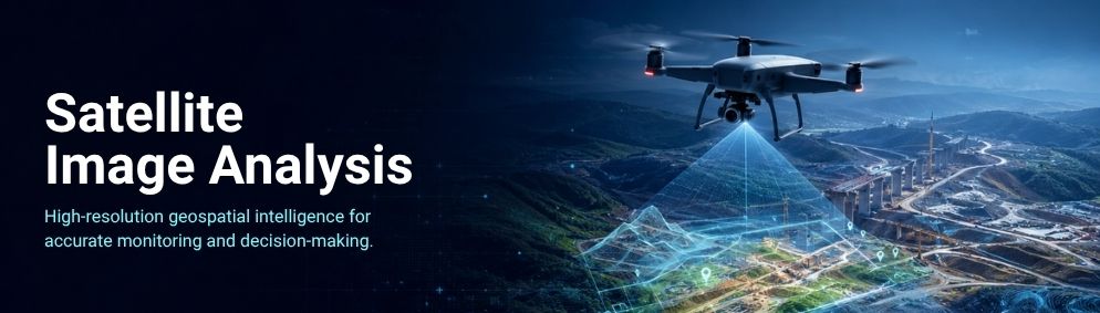
Our Drone Survey & Mapping services offer rapid, precise, and cost-effective aerial data collection for projects of all sizes. By utilising advanced UAV technology, we capture high-resolution imagery to create orthomosaics, digital elevation models (DEM), contour maps, and 3D terrain models.
These solutions cater to a variety of sectors, including construction, mining, infrastructure development, agriculture, and land management. When compared to traditional surveying methods, drone mapping considerably reduces field time while enhancing both accuracy and safety.
Skylabs Solution delivers dependable geospatial data that assists clients in streamlining their planning processes, monitoring project progress, and making informed business decisions.
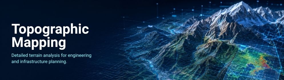
Skylabs Solution provides professional Topographic Mapping services that accurately depict terrain, elevation, slopes, contours, and natural land features.
Our mapping specialists utilise advanced surveying techniques and GIS technology to produce detailed topographic maps tailored for engineering, infrastructure, construction, environmental studies, and urban planning projects.
These maps offer essential information for site analysis, project design, drainage planning, and land development. By supplying precise and reliable topographic data, we assist organisations in minimising project risks, enhancing planning accuracy, and ensuring successful project execution from inception to completion.
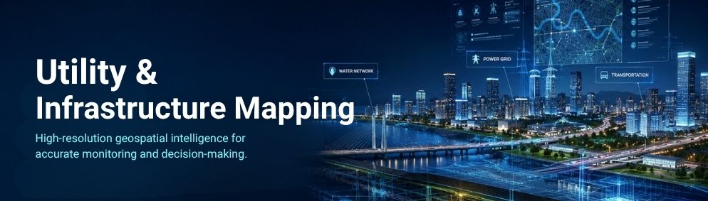
Our Utility & Infrastructure Mapping services offer precise mapping of both underground and above-ground assets, which encompass water pipelines, sewer networks, electrical systems, telecom lines, roads, and transportation infrastructure.
By employing GIS technology and accurate spatial data, we assist organisations in managing critical assets efficiently, thereby minimising maintenance costs and operational risks. Our mapping solutions are designed to support infrastructure planning, utility management, construction projects, and smart city initiatives.
Skylabs Solution provides dependable geospatial information that enhances asset visibility, improves decision-making, and facilitates better management of both public and private infrastructure.
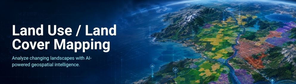
Skylabs Solution offers comprehensive Land Use and Land Cover Mapping services that aim to identify, classify, and monitor land use over time. Through the utilisation of satellite imagery, remote sensing, and GIS analysis, we produce accurate maps that assist in urban planning, agriculture, forestry, environmental conservation, mining, and infrastructure development.
Our solutions enable organisations to monitor environmental changes, evaluate land resources, and devise sustainable land management strategies.
By providing reliable geospatial insights, we empower governments and businesses to make informed planning decisions, thereby fostering long-term environmental and economic growth.
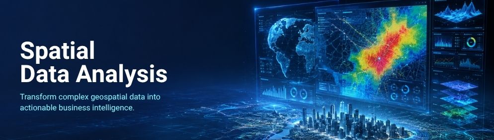
Skylabs Solution offers advanced Spatial Data Analysis services that transform complex geospatial data into meaningful insights, facilitating smarter decision-making.
By examining geographic patterns, relationships, and trends, we assist organisations in optimising planning, resource allocation, and operational efficiency.
Our GIS experts utilise industry-leading tools to support projects in infrastructure development, environmental management, transportation, utilities, and business intelligence. From site suitability analysis to network optimisation and predictive mapping, we provide accurate spatial solutions that empower governments and enterprises to make informed decisions, enhance productivity, reduce costs, and achieve sustainable development goals.
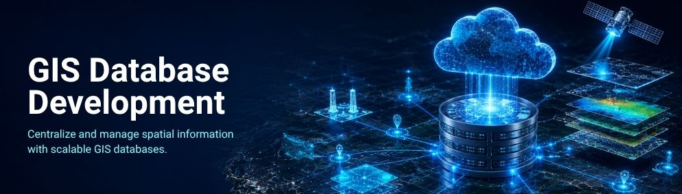
Our GIS Database Development services assist organisations in efficiently storing, managing, and maintaining substantial volumes of geospatial data within a secure and structured environment.
We create scalable GIS databases that guarantee data accuracy, consistency, and seamless integration with existing enterprise systems.
Whether handling land records, utility networks, environmental information, or infrastructure assets, our tailored database solutions enhance accessibility, collaboration, and decision-making.
Skylabs Solution constructs dependable spatial databases that streamline data management, boost operational efficiency, and foster long-term business growth through organised and easily accessible geospatial information.
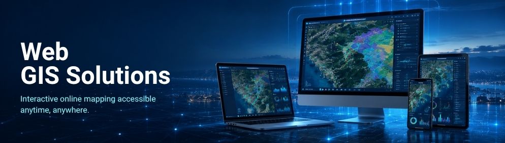
Skylabs Solution develops interactive Web GIS solutions that allow users to access, visualise, analyse, and share geospatial information via secure web-based platforms.
Our customised GIS applications offer real-time mapping, location intelligence, and spatial data visualisation that can be accessed from desktops, tablets, and mobile devices. Tailored for governments, utilities, infrastructure firms, and enterprises, our Web GIS solutions enhance collaboration, streamline data sharing, and boost operational efficiency.
With intuitive dashboards and user-friendly interfaces, we assist organisations in making quicker, data-driven decisions while ensuring seamless access to vital geospatial information anytime, anywhere.

Our Remote Sensing Services leverage advanced satellite imagery, aerial photography, and geospatial technologies to monitor and analyse the Earth's surface with exceptional accuracy.
We provide valuable insights for sectors such as agriculture, forestry, mining, environmental monitoring, disaster management, and infrastructure planning. By extracting reliable spatial information from remotely sensed data, Skylabs Solution assists clients in identifying changes, assessing resources, and enhancing planning strategies.
Our experienced GIS professionals deliver accurate, timely, and cost-effective remote sensing solutions that facilitate informed decision-making.
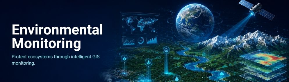
Skylabs Solution provides comprehensive Environmental Monitoring services that utilise GIS, remote sensing, and spatial analysis to track changes in the environment and support sustainable resource management.
We monitor forests, water bodies, air quality, land degradation, vegetation, and climate-related changes, all supported by precise geospatial data.
Our solutions assist governments, environmental agencies, and private organisations in assessing ecological conditions, ensuring regulatory compliance, and developing effective conservation strategies. By providing reliable environmental intelligence, we empower clients to minimise environmental risks, enhance planning processes, and make responsible decisions that promote long-term sustainability and protect the environment.
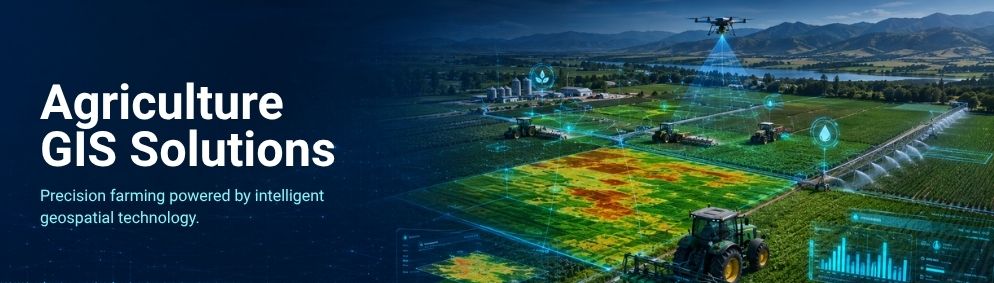
Skylabs Solutions offers Agriculture GIS Solutions designed to assist farmers, agribusinesses, and government organisations in enhancing productivity through data-driven farming practices. By utilising GIS, satellite imagery, drone surveys, and remote sensing technologies, we conduct analyses of crop health, soil conditions, irrigation systems, and land suitability to facilitate precision agriculture.
Our solutions promote efficient resource management, enable early detection of crop issues, support yield prediction, and foster sustainable farming practices.
Through the provision of accurate geospatial insights, we empower clients to optimise agricultural operations, reduce production costs, increase crop yields, and make informed decisions that contribute to long-term agricultural growth and food security.
Our Urban Planning and Smart City Solutions utilise advanced GIS technology to foster sustainable city development and facilitate intelligent infrastructure management.
We offer services such as spatial analysis, zoning maps, transportation planning, utility management, land use analysis, and infrastructure planning, all aimed at assisting governments and urban developers in making well-informed decisions.
Our geospatial solutions enhance public services, optimise resource utilisation, and bolster smart governance initiatives.
Skylabs Solution provides precise location intelligence that empowers cities to improve mobility, refine infrastructure planning, manage urban growth effectively, and create resilient, future-ready communities.
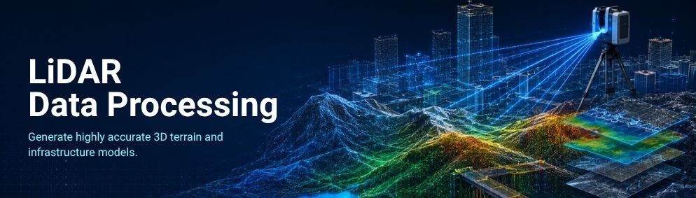
Skylabs Solution provides professional LiDAR Data Processing services that convert raw point cloud data into highly accurate geospatial products. These include Digital Elevation Models (DEM), Digital Terrain Models (DTM), contour maps, and 3D surface models.
Our advanced processing techniques facilitate infrastructure development, forestry, mining, flood risk assessment, and environmental studies. We guarantee precise classification, filtering, and analysis of LiDAR datasets, ensuring reliable spatial information. Our solutions enable organisations to enhance project planning, reduce survey time, improve accuracy, and make informed decisions based on comprehensive terrain intelligence.
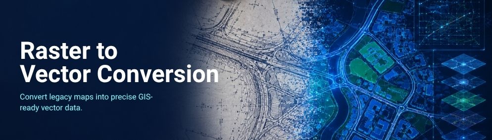
Our Raster to Vector Conversion services convert scanned maps, engineering drawings, blueprints, and satellite imagery into precise, editable vector formats that are compatible with modern GIS and CAD platforms.
By employing advanced digitisation techniques, we ensure accurate feature extraction while maintaining high standards of data quality and precision. These vector datasets enhance spatial analysis, data management, infrastructure planning, and mapping efficiency.
Skylabs Solution offers reliable conversion services that protect essential geographic information, enable future updates, and empower organisations to maximise the value of their legacy maps and spatial records.
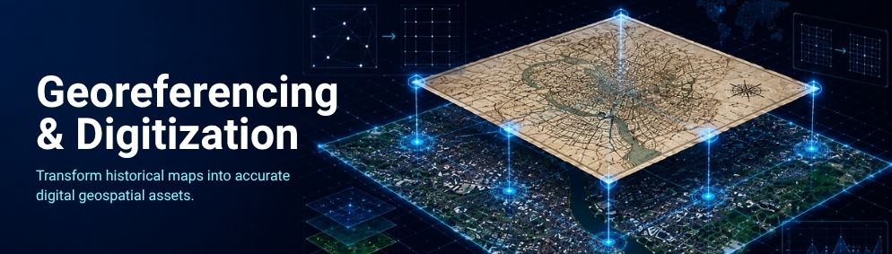
Skylabs Solution offers Georeferencing and Digitisation services aimed at converting paper maps, historical records, engineering drawings, and scanned images into precise digital geospatial datasets.
Our team of experts ensures that maps are accurately aligned with real-world coordinates and transformed into GIS-ready formats, facilitating seamless integration with contemporary mapping systems. These services enhance data accuracy, accessibility, and long-term usability for various applications, including planning, infrastructure development, land management, utilities, and environmental projects.
By digitising and preserving valuable spatial information, we enable organisations to streamline workflows, improve decision-making, and create dependable geospatial databases for future use.